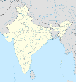
Tummalapalem
Appearance
Tummalapalem | |
|---|---|
 Interactive map | |
| Coordinates: 16°34′17″N 80°31′51″E / 16.5715°N 80.5307°E | |
| Country | |
| State | Andhra Pradesh |
| Region | Coastal Andhra |
| District | NTR |
| Mandal | Ibrahimpatnam |
| City | Vijayawada |
| Metro | Andhra Pradesh Capital Region |
| Area | |
• Total | 2.18 km2 (0.84 sq mi) |
| Population (2015)[2] | |
• Total | 2,698 |
| • Density | 1,200/km2 (3,200/sq mi) |
| Languages | |
| • Official | Telugu |
| Time zone | UTC+5:30 (IST) |
| Telephone code | 521241 |
Tummalapalem is located in western part of Vijayawada in the Indian state of Andhra Pradesh. It is a village falls under Ibrahimpatnam mandal in Vijayawada revenue division of NTR district. There is a proposal to merge this village into Vijayawada Municipal Corporation (VMC) to form a Greater Vijayawada Municipal Corporation.
References
[edit]- ^ "District Census Handbook - West Godavari" (PDF). Census of India. pp. 16, 310. Retrieved 18 January 2015.
- ^ "Census 2011". The Registrar General & Census Commissioner, India. Retrieved 19 October 2014.


