Talbot River (New Zealand)
Appearance
| Talbot River | |
|---|---|
 Arthur River in 2013 | |
 Route of the Arthur River | |
| Native name | Te Awa-o-Hine |
| Location | |
| Country | New Zealand |
| Region | Southland |
| District | Southland |
| Physical characteristics | |
| Source | |
| • location | Buttercup Lake |
| • coordinates | 44°46′53″S 167°56′06″E / 44.7815°S 167.9349°E |
| Mouth | |
• location | Joes River |
• coordinates | 44°45′46″S 167°53′21″E / 44.76265°S 167.88903°E |
| Basin features | |
| Progression | Talbot River → Joes River → Lake Ada → Arthur River → Milford Sound → Tasman Sea |
| Tributaries | |
| • left | Diamond Creek, Mackay Creek, Poseidon Creek, Camp Oven Creek |
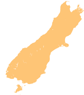
The Talbot River is a river in northern Fiordland, New Zealand. A tributary of Joes River, it rises west of Gulliver Peak.[1]
See also
[edit]References
[edit]- ^ "Place name detail: Talbot River". New Zealand Gazetteer. New Zealand Geographic Board. Retrieved 8 June 2010.


