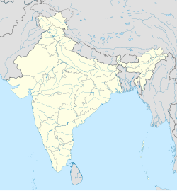
Purola
Appearance
This article needs additional citations for verification. (December 2024) |
Purola | |
|---|---|
Town | |
| Coordinates: 30°52′44″N 78°05′07″E / 30.8789°N 78.0852°E | |
| Country | |
| State | Uttarakhand |
| District | Uttarkashi |
| Government | |
| • Type | Tehsil |
| • Body | Nagar Palika Parishad |
| Elevation | 1,524 m (5,000 ft) |
| Population (2011) | 33,792 |
| Languages | |
| • Garhwali, Hindi | Hindi |
| Time zone | UTC+5:30 (IST) |
| PIN | 249185 |
| Telephone code | 91-1373 |
| Vehicle registration | UK-10 |
| Website | uk |
Purola is a nagar palika and tehsil headquarters in the Uttarkashi district of the Indian state of Uttarakhand.[1] It is located on the banks of the Tons river.
Geography
[edit]Purola is a semi-urban settlement. It is famous for its Har-ki-Dun trek. It is around 158 kilometres from Chamba, 107 km from Uttarkashi and 133 km from capital Dehradun.
Demographics
[edit]The population of the city is about 34,000. Most of the population speak Garhwali.
Economy
[edit]The main occupation is agriculture, government, and business. It is near the Maneri Bhali Hydroelectric Project.
Politics
[edit]This town comes under the Purola Assembly constituency and is a part of the Tehri Garhwal Lok Sabha constituency
References
[edit]- ^ "Purola Travel Guide - Why Visit Purola Town? Purola Tourism Travel Tips". www.euttaranchal.com.


