Nyhamnsläge
Appearance
This article has multiple issues. Please help improve it or discuss these issues on the talk page. (Learn how and when to remove these messages)
|
Nyhamnsläge | |
|---|---|
 | |
| Coordinates: 56°14′N 12°32′E / 56.233°N 12.533°E | |
| Country | Sweden |
| Province | Skåne |
| County | Skåne County |
| Municipality | Höganäs Municipality |
| Population (September 2011)[1] | |
• Total | 1,500 |
| Time zone | UTC+1 (CET) |
| • Summer (DST) | UTC+2 (CEST) |
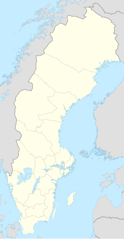
Nyhamnsläge is a part of Höganäs Municipality in Skåne County, Sweden with 1500 inhabitants (September 2011). In terms of borders, it is south to Strandbaden, north to Mölle, east to Arild and Skäret. On the west side is the Øresund, Baltic Sea. Nyhamnsläge's original name was Nyhamn. It changed its name to Nyhamnsläge in 1910 because there was another village in the country that shared the same name, since two villages are not allowed to have the same name. In Nyhamnsläge a harbour, a grocery store, two kindergartens, an elementary school and a retirement home are all within the village.
References
[edit]- ^ a b "Tätorternas landareal, folkmängd och invånare per km2 2005 och 2010" (in Swedish). Statistics Sweden. 14 December 2011. Archived from the original on 2012-01-27. Retrieved 10 January 2012.


