Mets Ayrum
Mets Ayrum
Մեծ Այրում | |
|---|---|
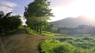
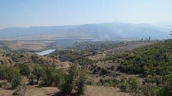 Mets Ayrum in 2015 | |
| Coordinates: 41°10′18″N 44°49′09″E / 41.17167°N 44.81917°E | |
| Country | |
| Province | Lori |
| Elevation | 690 m (2,260 ft) |
| Population | |
• Total | 581 |
| Time zone | UTC+4 (AMT) |
Mets Ayrum (Armenian: Մեծ Այրում; Azerbaijani: Kiçik Ayrım) is a village in the Lori Province of Armenia. The village was populated by Azerbaijanis before the exodus of Azerbaijanis from Armenia after the outbreak of the Nagorno-Karabakh conflict.[2]
Development programs
[edit]In 2015 some programs started to be implemented in Mets Ayrum by Children of Armenia Fund. Arts Clubs, Crafts Clubs, Media Literacy Club, Student Councils, English Language Instruction, Social and Psychological Assistance, Support to Children with Learning Difficulties, Health and Lifestyle Education, Women Health Screenings, Support for Reproductive Health were implemented in the village by COAF.[3] COAF SMART room was renovated in the village school.[4]
Gallery
[edit]-
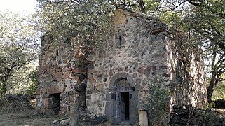
Nahatak Monastery
References
[edit]- ^ Statistical Committee of Armenia. "The results of the 2011 Population Census of the Republic of Armenia" (PDF).
- ^ "ՄԵԾ ԱՅՐՈՒՄ – ԱԴՐԲԵՋԱՆԱԿԱՆ ՄԱՔՈՒՐ` ՀԱՅԿԱԿԱՆ ԹՈՒՆԱՎՈՐ ԲՆԱԿԱՎԱՅՐ". newsflow.am. 25 August 2019. Retrieved 21 February 2021.
- ^ Gharibyan, Lusine (June 8, 2018). "Two dreams to change Nora's life". Mediamax.
- ^ Kololyan, Mery (February 29, 2016). "Դպրոցական ժամանակակաից ճաշարաններ՝ Քարինջում, Թումանյանում ու Դսեղում". Ankyun+3 TV. Archived from the original on 2021-12-21.


