Mangamila
Appearance
Mangamila | |
|---|---|
Town | |
| Coordinates: 18°34′00″S 47°51′30″E / 18.56667°S 47.85833°E | |
| Country | |
| Region | Analamanga |
| District | Anjozorobe |
| Area | |
• Total | 254 km2 (98 sq mi) |
| Elevation | 1,358 m (4,455 ft) |
| Population 2018 | |
• Total | 14,640 |
| Time zone | UTC+3 (EAT) |
| postal code | 107 |
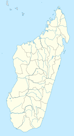
Mangamila is a municipality in the Analamanga Region, Madagascar, 69 km north-east of the capital Antananarivo, in the district of Anjozorobe.
It has a population of 14,640 inhabitants in 2018.
Routes
[edit]The town is linked with Antananarivo and Anjozorobe by the National Road 3.
Economy
[edit]The economy is based on agriculture. Rice, corn, peanuts, beans, manioc, soya and onions are the main crops.
Rivers
[edit]Mangamila lies on the Mananara river. Also the Sahavinaky crosses the municipality.[2]
References
[edit]


