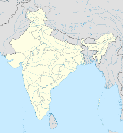
Mandor
Appearance
Mandor | |
|---|---|
village | |
| Coordinates: 26°42′14″N 75°31′58″E / 26.70379°N 75.53272°E | |
| Country | |
| State | Rajasthan |
| District | Jaipur |
| Talukas | Phagi |
| Area | |
• Total | 11.55 km2 (4.46 sq mi) |
| Elevation | 383 m (1,257 ft) |
| Population | |
• Total | 1,191[1] |
| • Density | 103/km2 (270/sq mi) |
| Languages | |
| • Official | Hindi |
| Time zone | UTC+5:30 (IST) |
| PIN | 303005 |
| Telephone code | 911430 |
| ISO 3166 code | RJ-IN |
| Vehicle registration | RJ- |
| Lok Sabha constituency | Ajmer |
| Vidhan Sabha constituency | Dudu[3] |
| Distance from Jaipur | 50 kilometres (31 mi) South (land) |
| Distance from Phagi | 10 kilometres (6.2 mi) North (land) |
Mandor is an ILRC and village in Phagi Tehsil in Jaipur district, Rajasthan.
Mandor has seven patwar circles - Kansel, Pachala, Mandor, Rotwara, Ladana, Sawai Jaisinghpura and Sultaniya.
Based on 2011 census, Mandor has 158 households with total population of 1,191 (51.89% males, 48.11% females). The total area of the village is 11.55 km2. There is one primary school in the village.
Villages in Mandor
[edit]| Patwar circle | Village |
|---|---|
| Kansel | Kansel |
| Jagat Shiromanipura @ Manpura | |
| Teekel Narukan | |
| Rata Khera | |
| Salarsoo | |
| Pachala | Jhodinda Bhojpura |
| Pachala | |
| Mandor | Teekel Purohitan |
| Pinach | |
| Mandor | |
| Rewantpura | |
| Rotwara | Koonchyawas |
| Kunj Biharipura | |
| Keeratura | |
| Bheempura | |
| Rotwara | |
| Sanwal | |
| Harbanshpura | |
| Ladana | Deonagar |
| Ladana | |
| Sawai Jaisinghpura | Govindpura @ Basra |
| Chhardara | |
| Nandlalpura | |
| Bookni | |
| Sherpura | |
| Sawai Jaisinghpura | |
| Hingoniya | |
| Sultaniya | Awandiya |
| Rampura | |
| Sultaniya | |
| Sawa Ka Bas |
References
[edit]- ^ "Populationofindia.co.in".
- ^ Census India Archived 2014-10-30 at the Wayback Machine
- ^ "Archived copy" (PDF). Archived from the original (PDF) on 5 October 2010. Retrieved 21 October 2013.
{{cite web}}: CS1 maint: archived copy as title (link)


