Malakatyn-Tas
Appearance
| Malakatyn-Tas | |
|---|---|
| Малакатын-Тас | |
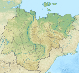
Location in Yakutia, Russia | |
| Highest point | |
| Elevation | 374 m (1,227 ft) |
| Prominence | 374 m (1,227 ft) |
| Listing | Mountains and hills of Russia |
| Coordinates | 74°52′01.31″N 138°46′32.73″E / 74.8670306°N 138.7757583°E[1] |
| Geography | |
| Country | Russia |
| Island | Kotelny, New Siberian Islands |
Mount Malakatyn-Tas is a mountain on Kotelny Island, part of the New Siberian Islands north of the East Siberian Plain, Russia.
The area of the mountain is part of the Lena Delta Wildlife Reserve.
Geography
[edit]At 374 metres (1,227 ft) tall, it is the highest point of the Anzhu group, as well as the New Siberian Islands.[2][3]

