Farkasgyepű
Appearance
Farkasgyepű Wirtshäusl | |
|---|---|
 Catholic church | |
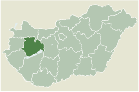
 Location of Veszprém county in Hungary | |
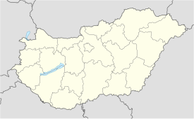
| Coordinates: 47°07′17″N 17°22′31″E / 47.121285°N 17.375412°E | |
| Country | |
| County | Veszprém |
| Government | |
| • Mayor | Takácsné Légrádi Edina (Ind.) |
| Area | |
• Total | 10.05 km2 (3.88 sq mi) |
| Population (2022)[3] | |
• Total | 371 |
| • Density | 37/km2 (96/sq mi) |
| Time zone | UTC+1 (CET) |
| • Summer (DST) | UTC+2 (CEST) |
| Postal code | 8582 |
| Area code | 89 |
| Website | www |
Farkasgyepű (German: Wirtshäusl) is a village in Veszprém county, Hungary.
References
[edit]- ^ "Település adatlap". Nemzeti Választási Iroda (in Hungarian). Retrieved 2 September 2024.
- ^ "Detailed Gazetteer of Hungary". www.ksh.hu. Retrieved 2 September 2024.
- ^ "Census 2022". Census 2022. Retrieved 2 September 2024.
External links
[edit]47°12′12.85″N 17°37′54.12″E / 47.2035694°N 17.6317000°E


