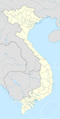
District 6, Ho Chi Minh City
Appearance
District 6
Quận 6 | |
|---|---|
 Position in HCMC's core | |
| Coordinates: 10°44′46″N 106°38′10″E / 10.74611°N 106.63611°E | |
| Country | |
| Centrally governed city | Ho Chi Minh City |
| Seat | 107 Cao Văn Lầu |
| Wards | 14 phường |
| Area | |
• Total | 7 km2 (3 sq mi) |
| Population | |
• Total | 271,050 |
| • Density | 39,000/km2 (100,000/sq mi) |
| Demographics | |
| • Main ethnic groups | Kinh, Chinese |
| Time zone | UTC+07 (ICT) |
| Website | quan6.hochiminhcity.gov.vn |
District 6 (Vietnamese: Quận 6) is an urban district (quận) of Ho Chi Minh City, the largest city in Vietnam. As of 2010, the district had a population of 253,474 and an area of 7 km².[1] It is divided into 14 small subsets which are called wards (phường), numbered from Ward 1 to Ward 14.
Geographical location
[edit]District 6 borders District 11 and Tân Phú District to the north, District 5 to the east, District 8 to the south, and Bình Tân District to the west.
References
[edit]- ^ "HCMC's Population and population density in 2010 by district". HCMC Office of Statistics. Retrieved Feb 4, 2014.


