Chondimukhed
Appearance
Chondimukhed | |
|---|---|
village | |
 | |
| Coordinates: 18°28′04″N 77°17′06″E / 18.4677°N 77.2849°E | |
| Country | |
| State | Karnataka |
| District | Bidar |
| Government | |
| • Type | Gram |
| • Body | Panchayat |
| Area | |
• Total | 4.60 km2 (1.78 sq mi) |
| Population (2020) | |
• Total | 1,792 |
| • Density | 151/km2 (390/sq mi) |
| Demonym | Chondimukhedkar |
| Languages | |
| • Official | Kannada |
| Time zone | UTC+5:30 (IST) |
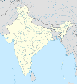
Chondimukhed is a village enclave belonging to the Aurad Taluk of Bidar district in the state of Karnataka, India. Though belonging to the state of Karnataka, Chondimukhed village is surrounded by Maharashtra on all the sides.
Having a population of 2000, Chondimukhed is facing all the problems that an exclave has.[1] The people here face an uncertain future with a feeling of neglect from both the states. However, the Karnataka Chief Minister H. D. Kumaraswamy has decided to visit Chondimukhed and stay for a day at the primary school here.[2] It is to be seen whether his visit would cause some improvements to this village
Notes
[edit]- ^ Issues in Chondimukhed as discussed by Manmatha Swamy. "No Kannada medium or teacher in govt school". Online Edition of The Deccan Herald, dated 2007-02-09. 2005, The Printers (Mysore) Private Ltd. Archived from the original on 6 April 2012. Retrieved 31 March 2007.
- ^ Photo of primary school at Chondimukhed taken by Correspondent. "DH Photogallery". Online Edition of The Deccan Herald, dated 2007-02-09. 2005, The Printers (Mysore) Private Ltd. Archived from the original on 6 April 2012. Retrieved 31 March 2007.
{{cite web}}:|author=has generic name (help)


