Bitoraj
Appearance
| Bitoraj | |
|---|---|
 | |
| Highest point | |
| Elevation | 1,386 m (4,547 ft) |
| Coordinates | 45°17′24″N 14°47′19″E / 45.290015°N 14.788492°E |
| Geography | |
| Location | Croatia |
| Parent range | Dinaric Alps |

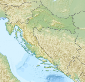
Bitoraj is a mountain in Gorski Kotar, Croatia. It is variously defined as a standalone mountain (named Bitoraj or Burni Bitoraj) or as group of peaks of Velika Kapela. The highest peaks on it are Burni Bitoraj at 1,386 m.a.s.l.,[1][2] Velika Javornica at 1374 m.a.s.l.,[1] and the eponymous Bitoraj peak at 1,140 m.a.s.l.[3]
References
[edit]Sources
[edit]- Croatian Mountaineering Association. "Burni Bitoraj – vrh Bitoraj". plsavez.hr (in Croatian). Retrieved 4 October 2020.
N 45° 17' 33.1 E 14° 47' 25.0
- Ostroški, Ljiljana, ed. (December 2015). "Geographical and meteorological data". Statistički ljetopis Republike Hrvatske 2015 [Statistical Yearbook of the Republic of Croatia 2015] (PDF). Statistical Yearbook of the Republic of Croatia (in Croatian and English). Vol. 47. Zagreb: Croatian Bureau of Statistics. ISSN 1333-3305. Retrieved 27 December 2015.
- Pahernik, Mladen (2012). "Prostorna gustoća ponikava na području Republike Hrvatske" [Spatial Density of Dolines in the Croatian Territory]. Hrvatski geografski glasnik (Croatian Geographical Bulletin) (in Croatian). 74 (2): 15. ISSN 1848-6401. Retrieved 4 October 2020.

