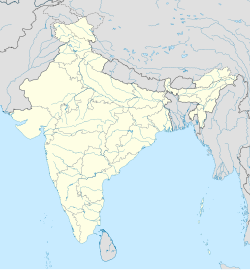
Ballipadu, Tallapudi
Appearance
Ballipadu | |
|---|---|
 Dynamic map | |
| Coordinates: 16°31′54″N 81°39′23″E / 16.531577°N 81.656527°E | |
| Country | |
| State | Andhra Pradesh |
| District | West Godavari |
| Talukas | Tallapudi Mandal |
| Population (2011) | |
• Total | 1,516 |
| Languages | |
| • Official | Telugu |
| Time zone | UTC+5:30 (IST) |
| PIN | 534341 |
| Telephone code | 91-8813 |
| Vehicle registration | AP |
| Distance from Amaravathi | 170 kilometres (110 mi) (Road) |
| Distance from Vizag | 250 kilometres (160 mi) (Road) |
Ballipadu is a village in West Godavari District of Andhra Pradesh, India.[1] It is located in the Thallapudi mandal of Andhra region. It is located 86 km towards east from District headquarters Eluru. Kovvur is the nearest railway station located at a distance of more than 10 km.
Geography
[edit]This Place is in the border of the West Godavari District and East Godavari District. East Godavari District Seethanagaram is North towards this place.
Demographics
[edit]As of 2011[update] Census of India, Ballipadu had a population of 1400. The total population constitute, 694 males and 706 females with a sex ratio of 1017 females per 1000 males. 162 children are in the age group of 0–6 years, with sex ratio of 1382. The average literacy rate stands at 70.88%.[2]


