Bakas
Appearance
Bakas
Bakkas | |
|---|---|
Village | |
| Coordinates: 26°47′21″N 81°02′56″E / 26.78914°N 81.04875°E[1] | |
| Country | |
| State | Uttar Pradesh |
| District | Lucknow |
| Area | |
• Total | 7.305 km2 (2.820 sq mi) |
| Elevation | 120 m (390 ft) |
| Population (2011)[2] | |
• Total | 8,171 |
| • Density | 1,100/km2 (2,900/sq mi) |
| Languages | |
| • Official | Hindi |
| Time zone | UTC+5:30 (IST) |
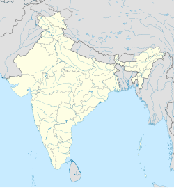
Bakas, also spelled Bakkas, is a village in Gosainganj block of Lucknow district, Uttar Pradesh, India.[2] As of 2011, its population is 8,171, in 1,444 households.[2] It is the seat of a gram panchayat.[3]
History
[edit]Around the turn of the 20th century, Bakas was described as "a considerable village" in the northern part of the pargana of Mohanlalganj, with a population of 2,200.[4] The lands belonging to the village stretched northward to the bank of the Gomti River; they were extensively cultivated, with loamy soil and irrigation provided from tanks and wells.[4] Bakas hosted a weekly market, and it was held in zamindari tenure by the Janwars of Mau.[4]
References
[edit]- ^ a b "Geonames.org. Bakas". Retrieved 15 March 2021.
- ^ a b c d "Census of India 2011: Uttar Pradesh District Census Handbook - Lucknow, Part A (Village and Town Directory)". Census 2011 India. pp. 185–202. Retrieved 15 March 2021.
- ^ "Villages | District Lucknow, Government of Uttar Pradesh | India". lucknow.nic.in.
- ^ a b c Nevill, H.R. (1904). Lucknow - A Gazetteer. Allahabad: Government Press. pp. 171–2. Retrieved 17 March 2021.


