Böhönye
Appearance
Böhönye | |
|---|---|
Village | |
 Bell tower with stone cross in Böhönye | |
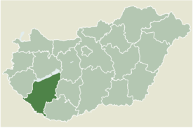
 Location of Somogy county in Hungary | |
| Coordinates: 46°24′43″N 17°23′34″E / 46.41186°N 17.39291°E | |
| Country | |
| Region | Southern Transdanubia |
| County | Somogy |
| District | Marcali |
| RC Diocese | Kaposvár |
| Area | |
• Total | 64.17 km2 (24.78 sq mi) |
| Population (2017) | |
• Total | 2,230[1] |
| Demonym | böhönyei |
| Time zone | UTC+1 (CET) |
| • Summer (DST) | UTC+2 (CEST) |
| Postal code | 8719 |
| Area code | (+36) 85 |
| NUTS 3 code | HU232 |
| MP | József Attila Móring (KDNP) |
| Website | Böhönye Online |
Böhönye is a village in Somogy county, Hungary.
The settlement is part of the Balatonboglár wine region.[2]
Etymology
[edit]Its name derives from the given name Buhun which got an -é suffix which meant, in the form Buhuné, that the village belonged to him.[3]
History
[edit]Böhönye is a settlement dating from at least 1536, when it was first seen in historical records [1][permanent dead link].
During World War II, Böhönye was captured by Soviet troops of the 3rd Ukrainian Front on 30 March 1945 in the course of the Vienna Offensive.
External links
[edit]References
[edit]


