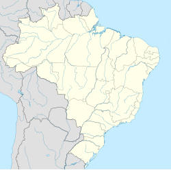
Arroio Trinta
Appearance
Arroio Trinta | |
|---|---|
Municipality | |
| Coordinates: 26°52′S 51°19′W / 26.867°S 51.317°W | |
| Country | |
| Region | South |
| State | Santa Catarina |
| Mesoregion | Oeste Catarinense |
| Population (2020 [1]) | |
• Total | 3,549 |
| Time zone | UTC -3 |
Arroio Trinta is a municipality in the state of Santa Catarina in the South region of Brazil. The population in 2020 was 3,549 inhabitants.
History
[edit]Etymology
[edit]There is a degree of curiosity concerning the name of the town.[2] It is said that in order to arrive at the city of Videira (to which the town belonged until 1961), a small river (Arroio) had to be crossed thirty (Trinta) times, and for this reason the name of the town became Arroio Trinta.
Origin
[edit]The Italian descendants who immigrated to the region of Urussanga began to colonise Arroio Trinta in 1924. Until then, the population was made up of caboclos.[3]
The first mill of Arroio Trinta came a year later after the arrival of the first families and the first sawmill was established five years later.[4]
See also
[edit]References
[edit]- ^ IBGE 2020
- ^ "Cidades@ Histórico do Município". EBGE. 2016. Retrieved 27 July 2016.
- ^ "Cidades@ Histórico do Município". EBGE. 2016. Retrieved 27 July 2016.
- ^ "Cidades@ Histórico do Município". EBGE. 2016. Retrieved 27 July 2016.


