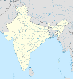
Pennalurpet
This article needs additional citations for verification. (June 2007) |
Pennalurpet | |
|---|---|
village | |
| Coordinates: 13°18′N 79°51′E / 13.300°N 79.850°E | |
| Country | |
| State | Tamil Nadu |
| District | Tiruvallur |
| Taluka | Uthukkottai |
| Population (2011) | |
• Total | 5,466 |
| Languages | |
| • Official | Tamil |
| Time zone | UTC+5:30 (IST) |
Pennalurpet (Tamil: Velamakandriga is a village in India located on the Andhra Pradesh and Tamil Nadu border. The village is under the control of Tamil Nadu government. Farming is the main income source for this village.[citation needed]
Geography
[edit]Pennalurpet is in the Thiruvallur district of Uthukottai Taluk, 24 km from the town of Thiruvallur and 12 km from Poondi. It is near a forest surrounded by several mountains and in the vicinity of the forest temple known as Mannachi Amman Caves Temple.
Demographics
[edit]In the 2001 Indian census, Pennalurpet had a population of 3,567, with 1,733 males and 1,834 females.[1]
In the 2011 census, Pennalurpet reported 5,466 inhabitants.[2]
Language
[edit]Tamil and Telugu are the major languages. Since the village is located near Andhra Pradesh, most people know both languages.
Temple
[edit]A Hanuman temple was located in Velemakandigai (1 km from Pennalurpet) which is several years old and believed to be Suyambu Moorthy. There is also a temple tank dedicated to this temple which has pure water with medical value.
Every year in the last week of May (Hanuman Jayanthi) the people from Velamakandriga host the annual festival for the gracious temple lord. During this period poojas and special annadhanams in the afternoon (for more than 1500 people) are performed daily for ten days and the seventh day is considered special because on the fire festival which decorates the evening.
Towards west side is the Nagathamman temple, north side is the Santhavalliyamman temple, south side is the Palayathamman temple, and east side is the Lord Siva Temple in Thamaraikulam.
References
[edit]- ^ "Census of India 2001: Data from the 2001 Census, including cities, villages and towns (Provisional)". Census Commission of India. Archived from the original on 16 June 2004. Retrieved 1 November 2008.
- ^ "NPR Report: Tamil Nadu: Thiruvallur: Uthukkottai". National Population Register, Ministry of Home Affairs, Government of India. 2011. Archived from the original on 27 April 2013.


