Oyayubi Island
| Geography | |
|---|---|
| Location | Antarctica |
| Coordinates | 69°14′S 39°40′E / 69.233°S 39.667°E |
| Administration | |
| Administered under the Antarctic Treaty System | |
| Demographics | |
| Population | Uninhabited |
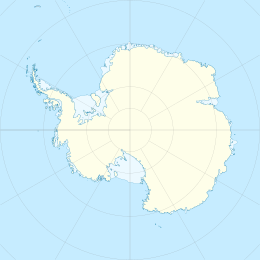
Oyayubi Island is a narrow rock island 2.8 kilometres (1.5 nmi). It lies close off Langhovde Hills, 3.7 kilometres (2 nmi) south of Mount Choto, in eastern Lutzow-Holm Bay.[1] Oyayubi Point is a rocky point marking the southern end of Oyayubi Island.[2]
Both the island and the point were mapped from surveys and air photos by Japanese Antarctic Research Expedition (JARE), 1957–62.[1][2] The point gives its name to the island, rather than the other way around. Oyayubi-misaki, meaning "thumb point," was named in association with Cape Nakayubi ("middle-finger point"), which lies immediately northward.[2] The name Oyayubi-jima (thumb island) was given by JARE in association with Oyayubi Point.[1]
See also
[edit]References
[edit]- ^ a b c "Oyayubi Island". Geographic Names Information System. United States Geological Survey, United States Department of the Interior. Retrieved 2019-04-25.
- ^ a b c "Oyayubi Point". Geographic Names Information System. United States Geological Survey, United States Department of the Interior. Retrieved 2019-04-25.
![]() This article incorporates public domain material from websites or documents of the United States Geological Survey.
This article incorporates public domain material from websites or documents of the United States Geological Survey.

