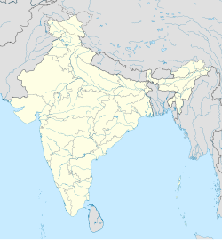
Kondepadu, Guntar district
Appearance
(Redirected from Kondepadu)
Kondepadu | |
|---|---|
Village | |
 Dynamic map | |
| Coordinates: 16°12′06″N 80°22′20″E / 16.201776°N 80.37215°E | |
| Country | India |
| State | Andhra Pradesh |
| District | Guntur |
| Population | |
• Total | 2,000 |
Kondepadu is a medium-sized village with a population of around 2500, located in the Guntur district of Andhra Pradesh, India.
References
[edit]


