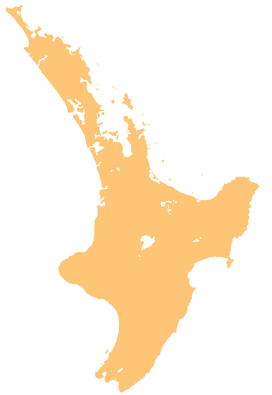
Kaihū Forest
| Kaihū Forest | |
|---|---|
 The Kaihū River with the forest in the background. | |
| Map | |
| Geography | |
| Location | Northland Region, New Zealand |
| Coordinates | 35°45′S 173°45′E / 35.750°S 173.750°E |
| Elevation | Max. 770 metres (2,530 ft) (Tutamoe) |
| Area | 2,400 hectares (5,900 acres) |
Kaihū Forest is a protected forest area located in the Northland region of New Zealand, near the Kaihū River and the settlement of Kaihu.[1] The forest spans approximately 2,400 ha (5,900 acres) of highlands, including Tutamoe, the second-tallest mountain in Northland, and is home to a wide range of native flora.[2]
Ecological significance
[edit]Historically, Kaihū Forest was home to kauri trees, which thrived in the region's mix of soft sedimentary material — which allowed for bigger root systems and moisture retention — and igneous material from the Waipoua volcano, which increased the soil's fertility.[3][4] Early records of the forests in the area include mention of a large amount of kauri, including one by the name of Kairaru that, at a girth of 20 metres (66 ft) and height of 50 metres (160 ft), was the largest kauri ever recorded in New Zealand until destroyed by fire in 1891.[3][5] Kauri have declined significantly in the area, remaining only in isolated pockets that are threatened by kauri dieback, but have been replaced by a wide range of other native plants, including tōtara, mānuka, kahikatea, and northern rātā, among other species.[6]
References
[edit]- ^ "NZ Topo Map". NZ Topo Map.
- ^ "Kaihū Forest and Kaihū Scenic Reserve hunting". www.doc.govt.nz. Retrieved 16 January 2025.
- ^ a b Grant, Simon (July 2006). "The memory tree". New Zealand Geographic. Kōwhai Media. Retrieved 16 January 2025.
- ^ Boswijk, Gretel. "A history of kauri" (PDF). Environmental History AU/NZ.
- ^ "Kairaru". The New Zealand Tree Register.
- ^ Miller, Nigel; Holland, Wendy (2008). "Natural areas of Tutamoe Ecological District" (PDF). doc.govt.nz. Department of Conservation. Retrieved 16 January 2025.

