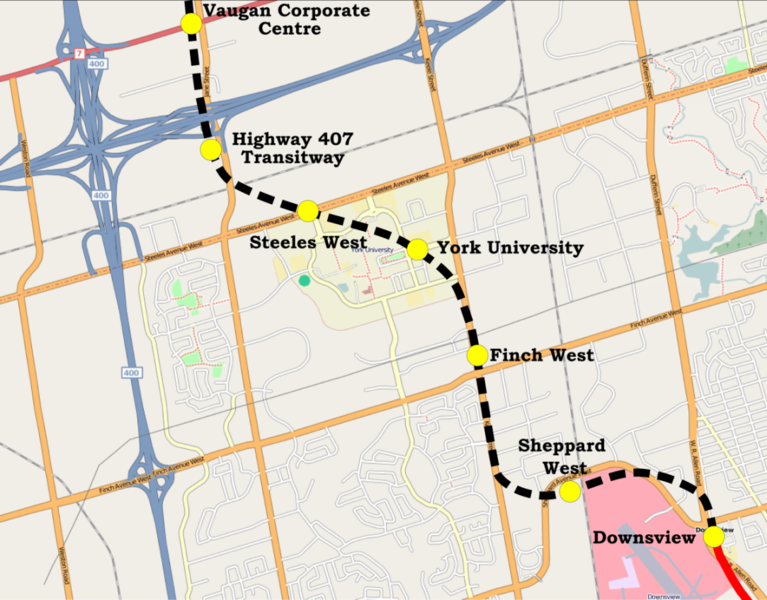
File:Yonge-University-Spadina extenstion map.png
Appearance

Size of this preview: 767 × 600 pixels. Other resolutions: 307 × 240 pixels | 614 × 480 pixels | 982 × 768 pixels | 1,083 × 847 pixels.
Original file (1,083 × 847 pixels, file size: 722 KB, MIME type: image/png)
File history
Click on a date/time to view the file as it appeared at that time.
| Date/Time | Thumbnail | Dimensions | User | Comment | |
|---|---|---|---|---|---|
| current | 20:57, 5 December 2009 |  | 1,083 × 847 (722 KB) | The Cosmonaut | typo |
| 22:05, 11 July 2008 |  | 1,083 × 847 (722 KB) | The Cosmonaut | {{Information |Description= {{en|Map of a Yonge-University-Spadina subway line extension, currently under construction.}} |Source= Based on OpenStreetMap |Date= June 11 |
File usage
The following 2 pages use this file:

