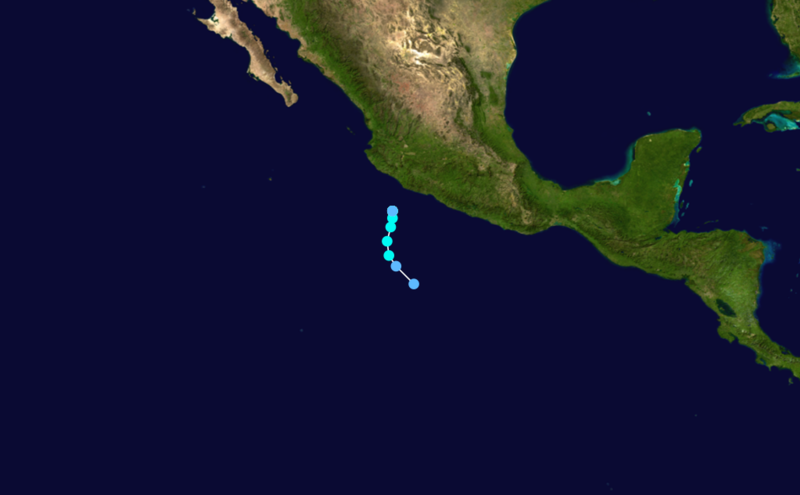
File:Winnie 1983 track.png
Appearance

Size of this preview: 800 × 495 pixels. Other resolutions: 320 × 198 pixels | 640 × 396 pixels | 1,024 × 633 pixels.
Original file (1,024 × 633 pixels, file size: 255 KB, MIME type: image/png)
File history
Click on a date/time to view the file as it appeared at that time.
| Date/Time | Thumbnail | Dimensions | User | Comment | |
|---|---|---|---|---|---|
| current | 16:48, 7 July 2019 |  | 1,024 × 633 (255 KB) | CooperScience | Reverted to version as of 17:52, 10 December 2016 (UTC) Former track is correct. From 0000Z December 6 until dissipation, Winnie is listed in ATCF as stalling at 17.0N, 104.1W. This is why the hurricane points are not visible. |
| 19:53, 15 March 2019 |  | 1,366 × 782 (303 KB) | 40bus | Reverted to version as of 08:13, 9 December 2015 (UTC) | |
| 17:52, 10 December 2016 |  | 1,024 × 633 (255 KB) | Cyclonebiskit | Reverted to version as of 18:43, 3 June 2015 (UTC) | |
| 08:13, 9 December 2015 |  | 1,366 × 782 (303 KB) | Typhoon2013 | Winnie was cat1 | |
| 18:43, 3 June 2015 |  | 1,024 × 633 (255 KB) | Cyclonebiskit | Reverted to version as of 18:56, 14 July 2006 | |
| 07:28, 18 July 2014 |  | 1,366 × 782 (303 KB) | Typhoon2013 | added cat1 point of Winnie | |
| 18:56, 14 July 2006 |  | 1,024 × 633 (255 KB) | Nilfanion | ||
| 01:48, 7 June 2006 |  | 1,024 × 633 (255 KB) | Jdorje~commonswiki | {{Hurricane auto track map|Hurricane Winnie (1983)}} |
File usage
The following page uses this file:
Global file usage
The following other wikis use this file:
- Usage on es.wikipedia.org
