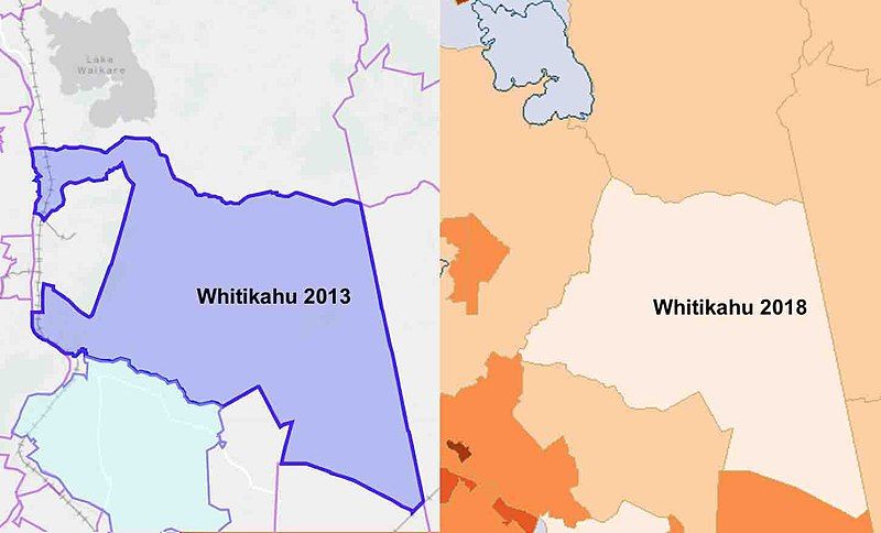
File:Whitkahu census areas.jpg
Appearance

Size of this preview: 800 × 484 pixels. Other resolutions: 320 × 193 pixels | 640 × 387 pixels | 1,024 × 619 pixels | 1,452 × 878 pixels.
Original file (1,452 × 878 pixels, file size: 45 KB, MIME type: image/jpeg)
File history
Click on a date/time to view the file as it appeared at that time.
| Date/Time | Thumbnail | Dimensions | User | Comment | |
|---|---|---|---|---|---|
| current | 21:03, 7 March 2020 |  | 1,452 × 878 (45 KB) | Johnragla | Uploaded a work by StatsNZ from http://statsnz.maps.arcgis.com/apps/MapSeries/index.html?appid=363cada2473a451d9f92ba0a4edc423a and http://archive.stats.govt.nz/StatsMaps/Home/People%20and%20households/2013-census-quickstats-about-a-place-map.aspx with UploadWizard |
File usage
The following page uses this file:
