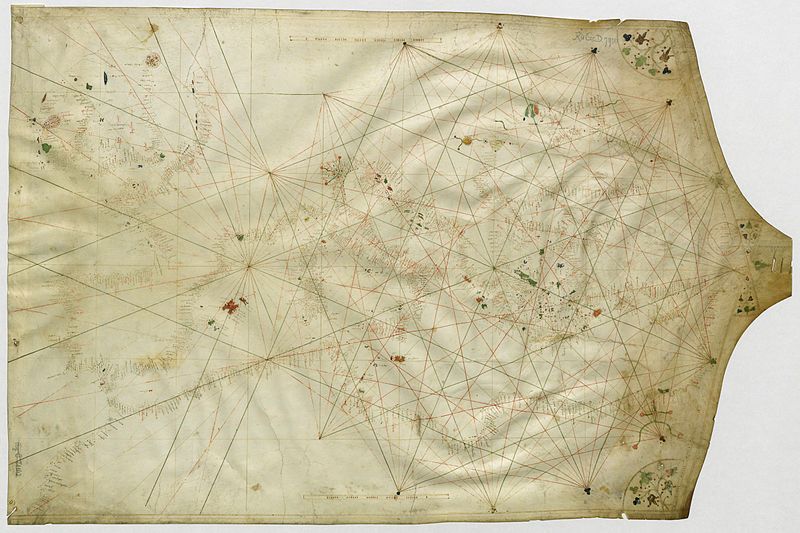
File:Virga chart (1409).jpg
Appearance

Size of this preview: 800 × 533 pixels. Other resolutions: 320 × 213 pixels | 640 × 426 pixels | 1,024 × 682 pixels | 1,280 × 853 pixels | 2,560 × 1,705 pixels | 5,568 × 3,709 pixels.
Original file (5,568 × 3,709 pixels, file size: 5.64 MB, MIME type: image/jpeg)
File history
Click on a date/time to view the file as it appeared at that time.
| Date/Time | Thumbnail | Dimensions | User | Comment | |
|---|---|---|---|---|---|
| current | 14:52, 17 July 2011 |  | 5,568 × 3,709 (5.64 MB) | Walrasiad | Larger resolution |
| 14:40, 17 July 2011 |  | 2,070 × 3,162 (1.73 MB) | Walrasiad | {{Information |Description ={{en|1=Portolan chart by Venetian cartographer Albertinus de Virga, dated 1409, covering the Mediterranean, Black Sea and Atlantic coast. Currently held by the Bibliothèque nationale de France, Paris ([http://gallica.bnf.f |
File usage
The following 2 pages use this file:
Global file usage
The following other wikis use this file:
- Usage on ca.wikipedia.org
