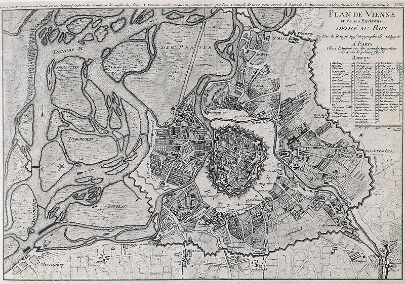
File:Vienna1780.jpg
Appearance

Size of this preview: 800 × 562 pixels. Other resolutions: 320 × 225 pixels | 640 × 450 pixels | 1,024 × 719 pixels | 1,280 × 899 pixels | 2,555 × 1,795 pixels.
Original file (2,555 × 1,795 pixels, file size: 2.97 MB, MIME type: image/jpeg)
File history
Click on a date/time to view the file as it appeared at that time.
| Date/Time | Thumbnail | Dimensions | User | Comment | |
|---|---|---|---|---|---|
| current | 11:59, 4 October 2007 |  | 2,555 × 1,795 (2.97 MB) | Springbank~commonswiki | {{Information |Description= Map of Vienna and the Danube from 1780. Original description (German): "Plan von Wien aus dem Jahr 1780, von einem französischen Kartographen für seinen König angefertigt." |Source= Walter Janksch: Schicksal einer Brücke, V |
File usage
The following page uses this file:
Global file usage
The following other wikis use this file:
- Usage on de.wikipedia.org
- Usage on ru.wikipedia.org
