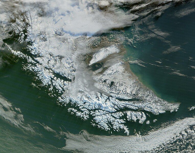
File:TierraDelFuego Satellite1.jpg
Appearance

Size of this preview: 763 × 600 pixels. Other resolutions: 306 × 240 pixels | 611 × 480 pixels | 978 × 768 pixels | 1,280 × 1,006 pixels | 2,560 × 2,011 pixels | 2,800 × 2,200 pixels.
Original file (2,800 × 2,200 pixels, file size: 954 KB, MIME type: image/jpeg)
File history
Click on a date/time to view the file as it appeared at that time.
| Date/Time | Thumbnail | Dimensions | User | Comment | |
|---|---|---|---|---|---|
| current | 20:51, 10 August 2010 |  | 2,800 × 2,200 (954 KB) | IdLoveOne~commonswiki | {{Information |Description={{en|1=Satellite image of Tierra del Fuego}} |Source=http://visibleearth.nasa.gov/view_rec.php?id=1949 |Author=Jacques Descloitres, MODIS Land Rapid Response Team |Date=2006-06-08 |Permission= |oth |
File usage
No pages on the English Wikipedia use this file (pages on other projects are not listed).
Global file usage
The following other wikis use this file:
- Usage on ast.wikipedia.org
- Usage on cs.wikipedia.org
- Usage on es.wikipedia.org
- Usage on he.wikipedia.org
- Usage on pl.wikipedia.org
- Usage on pt.wikipedia.org
- Usage on sr.wikipedia.org


