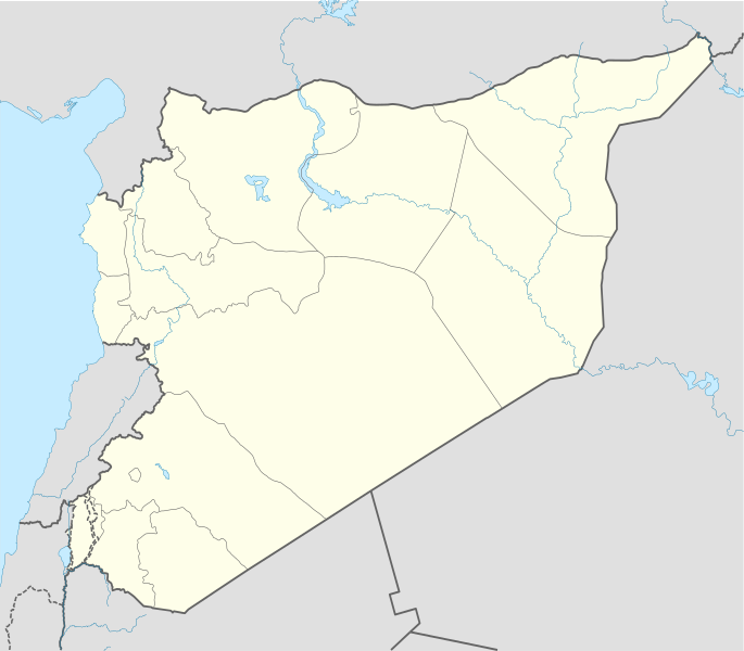
File:Syria location map2.svg
Appearance

Size of this PNG preview of this SVG file: 685 × 600 pixels. Other resolutions: 274 × 240 pixels | 548 × 480 pixels | 878 × 768 pixels | 1,170 × 1,024 pixels | 2,340 × 2,048 pixels | 922 × 807 pixels.
Original file (SVG file, nominally 922 × 807 pixels, file size: 189 KB)
File history
Click on a date/time to view the file as it appeared at that time.
| Date/Time | Thumbnail | Dimensions | User | Comment | |
|---|---|---|---|---|---|
| current | 14:06, 18 November 2022 |  | 922 × 807 (189 KB) | GrandEscogriffe | more correct N/S stretching |
| 01:11, 28 June 2014 |  | 922 × 762 (164 KB) | Spesh531 | adding rivers shown in syria location map3 | |
| 17:51, 16 October 2010 |  | 1,000 × 827 (240 KB) | Supreme Deliciousness | {{Information |Description={{en|1=Syria location map following the worldview per mainstream maps: # http://www.lib.utexas.edu/maps/middle_east_and_asia/syria_pol_2007.jpg # http://www.lib.utexas.edu/maps/middle_east_and_asia/syria_pol90.jpg # http://www |
File usage
The following 2 pages use this file:
Global file usage
The following other wikis use this file:
- Usage on bn.wikipedia.org
- Usage on fr.wikipedia.org
- Usage on li.wikipedia.org
- Usage on nl.wikipedia.org
- Damascus
- Latakia (stad)
- Palmyra (Syrië)
- Aleppo (stad)
- Homs
- Bosra
- Dura Europos
- Hama (stad)
- Krak des Chevaliers
- Kasteel van Saladin
- Apamea (Syrië)
- Sjabloon:Positiekaart Syrië
- Maaloula
- West-Aziatisch kampioenschap voetbal 2002
- Resafa
- Tartous
- Saydnaya
- Baniyas
- Kobani
- Azaz
- Abu Kamal
- Ad-Darbasiyah
- Afrin (stad)
- Al-Hamidiyah
- Qamishli
- Al-Bab
- Al-Haffah (plaats)
- Al-Hajar al-Aswad
- Al-Hasakah (plaats)
- Al-Kefr
- Al-Malikiyah
- Al-Mukharram
- Al-Qusayr
- Al-Qutayfah
- Amuda
- An-Nabk
- Raqqa (stad)
- Ar-Rastan
- Arihah
- Ariqah
- Armanaz
- As-Safirah (plaats)
- As-Sanamayn
- Al-Suqaylabiyah (stad)
- As-Suwayda (plaats)
- Ash-Shaykh Badr
- At-Tall
View more global usage of this file.
