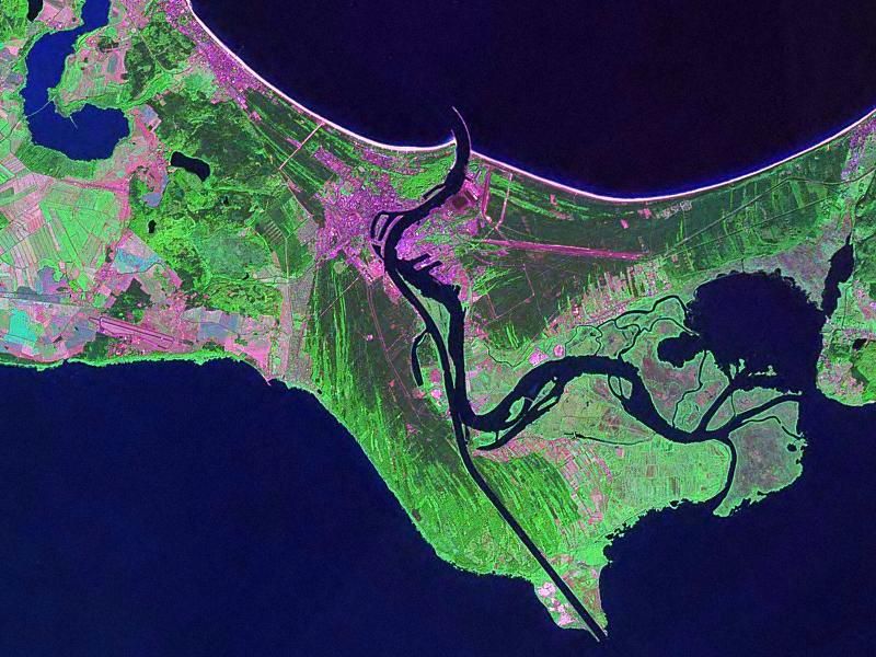
File:Swinoujscie Landsat.jpeg
Appearance
Swinoujscie_Landsat.jpeg (800 × 600 pixels, file size: 104 KB, MIME type: image/jpeg)
File history
Click on a date/time to view the file as it appeared at that time.
| Date/Time | Thumbnail | Dimensions | User | Comment | |
|---|---|---|---|---|---|
| current | 20:40, 8 March 2007 |  | 800 × 600 (104 KB) | Balcer~commonswiki | Świnoujście - Landsat satellite photo (2000) Świnoujście - zdjecie satelitarne Landsat (2000) Source: Image from Polish Wikipedia, generated from data available at: https://zulu.ssc.nasa.gov/mrsid/ NASA, public domain. Category:Świnoujście |
File usage
The following 4 pages use this file:
Global file usage
The following other wikis use this file:
- Usage on cs.wikipedia.org
- Usage on da.wikipedia.org
- Usage on de.wikipedia.org
- Usage on eo.wikipedia.org
- Usage on fi.wikipedia.org
- Usage on fr.wikipedia.org
- Usage on id.wikipedia.org
- Usage on it.wikipedia.org
- Usage on ko.wikipedia.org
- Usage on nl.wikipedia.org
- Usage on pl.wikipedia.org
- Usage on pt.wikipedia.org
- Usage on sh.wikipedia.org
- Usage on sv.wikipedia.org
- Usage on vi.wikipedia.org
- Usage on zh.wikipedia.org


