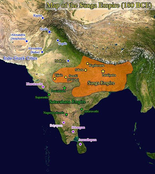
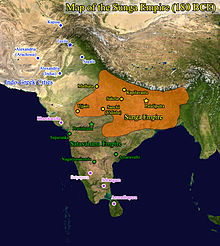
File:Sunga map.jpg
Appearance

Size of this preview: 536 × 599 pixels. Other resolutions: 215 × 240 pixels | 430 × 480 pixels | 792 × 885 pixels.
Original file (792 × 885 pixels, file size: 180 KB, MIME type: image/jpeg)
File history
Click on a date/time to view the file as it appeared at that time.
| Date/Time | Thumbnail | Dimensions | User | Comment | |
|---|---|---|---|---|---|
| current | 07:06, 21 September 2017 |  | 792 × 885 (180 KB) | पाटलिपुत्र | User created page with UploadWizard |
File usage
The following 2 pages use this file:
Global file usage
The following other wikis use this file:
- Usage on bn.wikipedia.org
- Usage on cs.wikipedia.org
- Usage on fa.wikipedia.org
- Usage on ko.wikipedia.org
- Usage on te.wikipedia.org
- Usage on uk.wikipedia.org
- Usage on zh-yue.wikipedia.org

