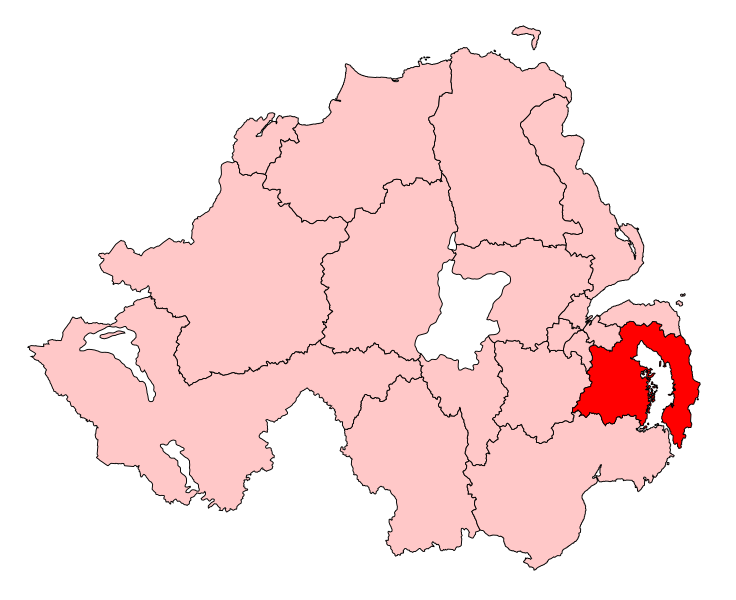
File:StrangfordConstituency.svg
Appearance

Size of this PNG preview of this SVG file: 736 × 600 pixels. Other resolutions: 295 × 240 pixels | 589 × 480 pixels | 942 × 768 pixels | 1,256 × 1,024 pixels | 2,513 × 2,048 pixels | 779 × 635 pixels.
Original file (SVG file, nominally 779 × 635 pixels, file size: 135 KB)
File history
Click on a date/time to view the file as it appeared at that time.
| Date/Time | Thumbnail | Dimensions | User | Comment | |
|---|---|---|---|---|---|
| current | 11:19, 14 May 2017 |  | 779 × 635 (135 KB) | FlyingChrysalis | Current (2008) boundaries with old colours. Derived from File:United Kingdom general election, 2015 (Northern Ireland).svg |
| 15:53, 13 May 2017 |  | 280 × 225 (87 KB) | Renamed user OCfxJKu7j2 | Reverted to version as of 14:16, 1 April 2007 (UTC) wrong colours, already 2010 boundaries | |
| 17:21, 12 May 2017 |  | 650 × 520 (150 KB) | FlyingChrysalis | Colours and 2010 boundaries | |
| 14:16, 1 April 2007 |  | 280 × 225 (87 KB) | Wereon | Map of the UK Parliament constituency of Strangford within Northern Ireland. Category:Maps of Parliamentary constituencies in Northern Ireland |
File usage
The following 7 pages use this file:
Global file usage
The following other wikis use this file:
- Usage on ar.wikipedia.org
- Usage on cy.wikipedia.org
- Usage on de.wikipedia.org
- Usage on fr.wikipedia.org
- Usage on ga.wikipedia.org
- Usage on it.wikipedia.org
- Usage on simple.wikipedia.org
- Usage on www.wikidata.org
- Usage on zh.wikipedia.org
