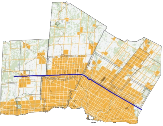
File:Steeles Avenue Map Greater Toronto Area.png
Appearance
Steeles_Avenue_Map_Greater_Toronto_Area.png (569 × 439 pixels, file size: 446 KB, MIME type: image/png)
File history
Click on a date/time to view the file as it appeared at that time.
| Date/Time | Thumbnail | Dimensions | User | Comment | |
|---|---|---|---|---|---|
| current | 03:03, 24 July 2024 |  | 569 × 439 (446 KB) | KaitlynMoore105 | Uploaded a work by SusanRichards85 - Modification of original by Awmcphee and Transportfan70 from https://commons.m.wikimedia.org/wiki/File:Dixie_Road_Peel_route_map.svg#mw-jump-to-license with UploadWizard |
File usage
The following page uses this file:

