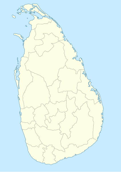
File:Sri Lanka-locator-map.svg
Appearance

Size of this PNG preview of this SVG file: 424 × 599 pixels. Other resolutions: 170 × 240 pixels | 339 × 480 pixels | 543 × 768 pixels | 724 × 1,024 pixels | 1,449 × 2,048 pixels | 842 × 1,190 pixels.
Original file (SVG file, nominally 842 × 1,190 pixels, file size: 237 KB)
File history
Click on a date/time to view the file as it appeared at that time.
| Date/Time | Thumbnail | Dimensions | User | Comment | |
|---|---|---|---|---|---|
| current | 11:52, 30 May 2014 |  | 842 × 1,190 (237 KB) | Sémhur | Valid SVG |
| 12:37, 21 December 2009 |  | 842 × 1,190 (237 KB) | Sémhur | Update : cleaning code (removing hidden parts remaining from Sri Lanka Locator.svg), decreasing weight, joining broken paths, standard colors (C8EBFF for sea, FEFEE4 for land) | |
| 17:58, 27 November 2007 |  | 842 × 1,190 (527 KB) | Obersachse | == Summary == {{Information |Description=Locator map for Sri Lanka. Based on Image:Gislanka locator.svg created by Regunathan Umapathy (User:Umapathy), which is licenced under GDFL+CC-BY-2.5. Coordinates Upper Lefthand Corner: 79d 21m 14.70s i.e |
File usage
The following page uses this file:
Global file usage
The following other wikis use this file:
- Usage on de.wikipedia.org
- Usage on fr.wikipedia.org
- Usage on hu.wikipedia.org
- Usage on incubator.wikimedia.org
- Usage on nn.wikipedia.org
- Usage on os.wikipedia.org
- Usage on sh.wikipedia.org
- Usage on sw.wikipedia.org
- Usage on ur.wikipedia.org
- Usage on yo.wikipedia.org

