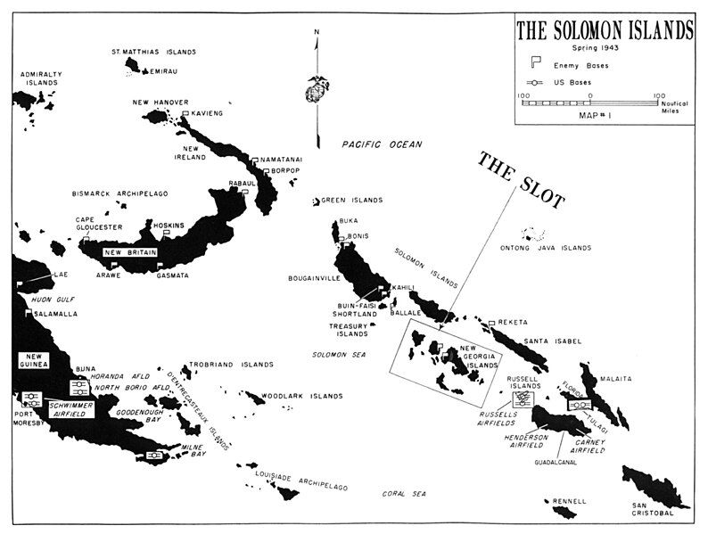
File:SolomonsNewGeorgiaPacificWarMap.jpg
Appearance

Size of this preview: 794 × 599 pixels. Other resolutions: 318 × 240 pixels | 636 × 480 pixels | 1,017 × 768 pixels | 1,200 × 906 pixels.
Original file (1,200 × 906 pixels, file size: 164 KB, MIME type: image/jpeg)
File history
Click on a date/time to view the file as it appeared at that time.
| Date/Time | Thumbnail | Dimensions | User | Comment | |
|---|---|---|---|---|---|
| current | 07:21, 7 August 2008 |  | 1,200 × 906 (164 KB) | Cla68 | {{Information |Description={{en|1=Solomon Islands, South Pacific showing situation in Spring 1943 before the Allied invasion of the highlighted New Georgia Island group.}} |Source=[http://www.ibiblio.org/hyperwar/USMC/USMC-M-CSol/maps/USMC-M-CSol-1.jpg] [ |
File usage
The following 7 pages use this file:
Global file usage
The following other wikis use this file:
- Usage on es.wikipedia.org
- Usage on sr.wikipedia.org

