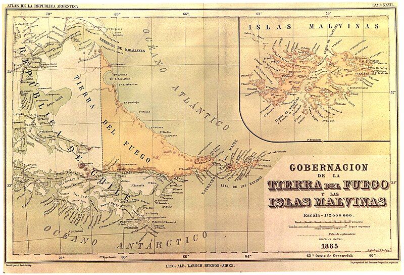
File:Seelstrang1886.jpg
Appearance

Size of this preview: 800 × 544 pixels. Other resolutions: 320 × 218 pixels | 640 × 435 pixels | 1,024 × 696 pixels | 1,280 × 870 pixels | 2,560 × 1,740 pixels | 4,954 × 3,368 pixels.
Original file (4,954 × 3,368 pixels, file size: 10.6 MB, MIME type: image/jpeg)
File history
Click on a date/time to view the file as it appeared at that time.
| Date/Time | Thumbnail | Dimensions | User | Comment | |
|---|---|---|---|---|---|
| current | 01:16, 19 May 2018 |  | 4,954 × 3,368 (10.6 MB) | Janitoalevic | . |
| 13:22, 19 August 2007 |  | 4,954 × 3,368 (1.93 MB) | Keysanger | {{Information |Description="In 1882 the Argentine Geographic Institut decided to issue a general map and a atlas of the Argentine Republic. The task was put in the hands of the well known Profesor of the University of Cordoba, Arturo Seelstrang, who had a |
File usage
The following page uses this file:
Global file usage
The following other wikis use this file:
- Usage on de.wikipedia.org
- Usage on es.wikipedia.org
- Usage on fr.wikipedia.org
