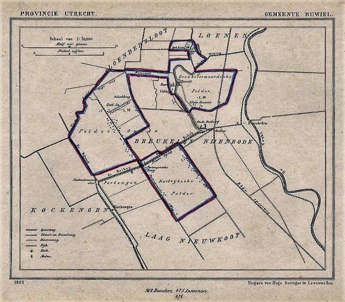
File:Ruwiel1865.jpg
Appearance

Size of this preview: 684 × 599 pixels. Other resolutions: 274 × 240 pixels | 548 × 480 pixels.
Original file (800 × 701 pixels, file size: 241 KB, MIME type: image/jpeg)
File history
Click on a date/time to view the file as it appeared at that time.
| Date/Time | Thumbnail | Dimensions | User | Comment | |
|---|---|---|---|---|---|
| current | 20:32, 30 October 2022 |  | 800 × 701 (241 KB) | Hansmuller | enhanced + slightly more pixels |
| 21:22, 23 February 2009 |  | 600 × 512 (67 KB) | BotMultichill | {{BotMoveToCommons|nl.wikipedia|year={{subst:CURRENTYEAR}}|month={{subst:CURRENTMONTHNAME}}|day={{subst:CURRENTDAY}}}} {{Information |Description={{nl|landkaart Ruwiel<br/> Dit is een kaart uit de gemeenteatlas van Utrecht, uitgegeven door Hugo Suringar |
File usage
No pages on the English Wikipedia use this file (pages on other projects are not listed).

