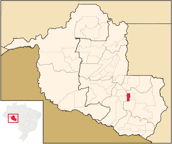
File:Rondonia Municip SaoFelipedoOeste.svg
Appearance

Size of this PNG preview of this SVG file: 715 × 600 pixels. Other resolutions: 286 × 240 pixels | 572 × 480 pixels | 916 × 768 pixels | 1,221 × 1,024 pixels | 2,442 × 2,048 pixels | 819 × 687 pixels.
Original file (SVG file, nominally 819 × 687 pixels, file size: 308 KB)
File history
Click on a date/time to view the file as it appeared at that time.
| Date/Time | Thumbnail | Dimensions | User | Comment | |
|---|---|---|---|---|---|
| current | 04:17, 26 June 2010 |  | 819 × 687 (308 KB) | Missionary | {{Information |Description=Mapa de São Felipe (RO). |Source={{derived from|Rondonia_MesoMicroMunicip.svg}} |Date=2010-06-25 |Author=Missionary |Permission={{self|author=Missionary|GFDL|Cc-by-sa-3.0-migrated|Cc-by-2 |
File usage
The following page uses this file:
Global file usage
The following other wikis use this file:
- Usage on bg.wikipedia.org
- Usage on de.wikipedia.org
- Usage on eo.wikipedia.org
- Usage on es.wikipedia.org
- Usage on eu.wikipedia.org
- Usage on it.wikipedia.org
- Usage on ka.wikipedia.org
- Usage on nl.wikipedia.org
- Usage on no.wikipedia.org
- Usage on pt.wikipedia.org
- Usage on ro.wikipedia.org
- Usage on ru.wikipedia.org
- Usage on tt.wikipedia.org
- Usage on vi.wikipedia.org
- Usage on www.wikidata.org
- Usage on zh-min-nan.wikipedia.org
- Usage on zh.wikipedia.org

