File:Proposed Acle Straight development.png
Appearance
Proposed_Acle_Straight_development.png (678 × 428 pixels, file size: 85 KB, MIME type: image/png)
File history
Click on a date/time to view the file as it appeared at that time.
| Date/Time | Thumbnail | Dimensions | User | Comment | |
|---|---|---|---|---|---|
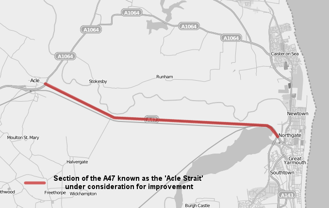
| current | 09:45, 23 July 2009 |  | 678 × 428 (85 KB) | HelioSmith | {{Information |Description={{en|1=The section, in red, of the A47 known as the 'Acle Strait' for which there are proposals for widening/duelling.}} |Source=Own work over [http://www.openstreetmap.org/ OpenStreetMap] data. |Author=user:HelioSmith, [htt |
File usage
The following 2 pages use this file:

