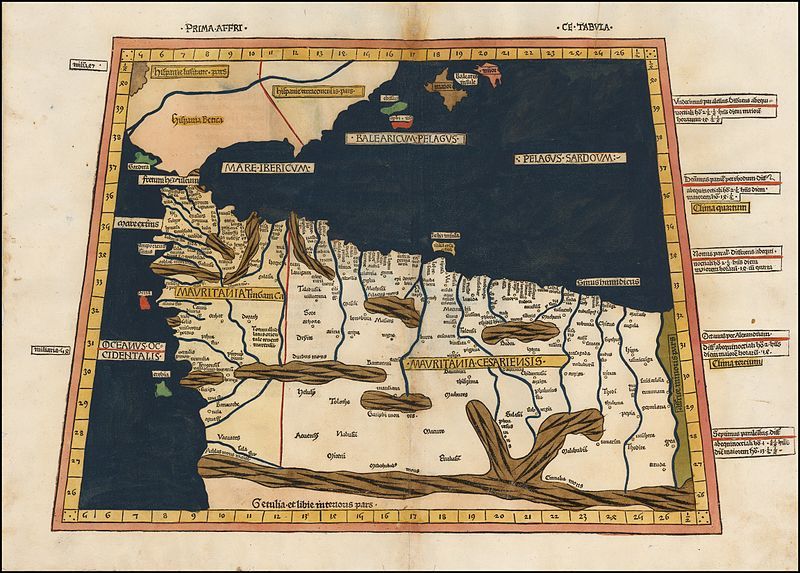
File:Prima Affrice Tabula.jpg
Appearance

Size of this preview: 800 × 573 pixels. Other resolutions: 320 × 229 pixels | 640 × 458 pixels | 1,024 × 733 pixels | 1,280 × 917 pixels | 2,304 × 1,650 pixels.
Original file (2,304 × 1,650 pixels, file size: 4.18 MB, MIME type: image/jpeg)
File history
Click on a date/time to view the file as it appeared at that time.
| Date/Time | Thumbnail | Dimensions | User | Comment | |
|---|---|---|---|---|---|
| current | 12:18, 11 August 2016 |  | 2,304 × 1,650 (4.18 MB) | LlywelynII | User created page with UploadWizard |
File usage
The following 5 pages use this file:
Global file usage
The following other wikis use this file:
- Usage on ary.wikipedia.org
- Usage on fr.wikipedia.org
- Usage on mt.wikipedia.org
- Usage on www.wikidata.org
