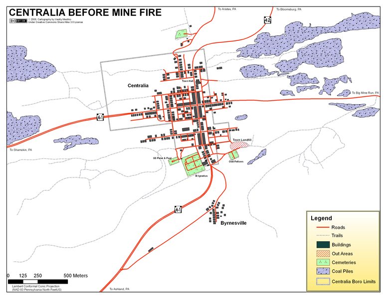
File:PA CENTRALIA OLD.PNG
Appearance

Size of this preview: 776 × 600 pixels. Other resolutions: 311 × 240 pixels | 621 × 480 pixels | 994 × 768 pixels | 1,280 × 989 pixels | 2,560 × 1,978 pixels | 3,300 × 2,550 pixels.
Original file (3,300 × 2,550 pixels, file size: 388 KB, MIME type: image/png)
File history
Click on a date/time to view the file as it appeared at that time.
| Date/Time | Thumbnail | Dimensions | User | Comment | |
|---|---|---|---|---|---|
| current | 21:38, 25 November 2008 |  | 3,300 × 2,550 (388 KB) | Vasiliymeshko | == Summary == {{Information |Description = Map of Centralia area showing conditions after mine fire. |Source = Map Created by myself using QGIS (all map work) & ArcGIS (map layout) |Date = 25 November 2008 |Author = Vasiliy Meshko |Permission = See below |
| 21:20, 25 November 2008 |  | 3,300 × 2,550 (388 KB) | Vasiliymeshko | {{Information |Description = Map of Centralia area showing conditions before mine fire. |Source = Map Created by myself using QGIS & ArcGIS |Date = 25 November 2008 |Author = Vasiliy Meshko |Permission = See below |other_versions = }} |
File usage
No pages on the English Wikipedia use this file (pages on other projects are not listed).
Global file usage
The following other wikis use this file:
- Usage on cs.wikipedia.org
- Usage on de.wikipedia.org
- Usage on fr.wikipedia.org
