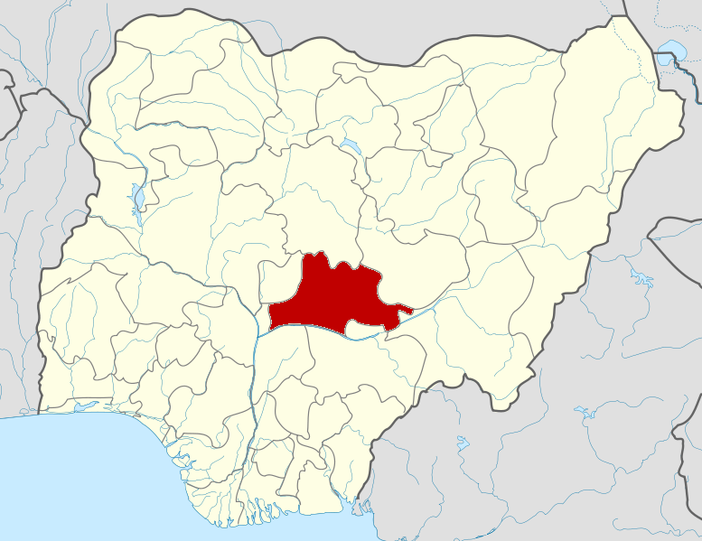
File:Nigeria Nasarawa State map.png
Appearance
Nigeria_Nasarawa_State_map.png (777 × 599 pixels, file size: 176 KB, MIME type: image/png)
File history
Click on a date/time to view the file as it appeared at that time.
| Date/Time | Thumbnail | Dimensions | User | Comment | |
|---|---|---|---|---|---|
| current | 04:06, 11 February 2010 |  | 777 × 599 (176 KB) | Himalayan Explorer | {{Information |Description={{en|1=l}} |Source=l |Author=l |Date=l |Permission= |other_versions= }} |
File usage
The following 19 pages use this file:
- 2021 Nasarawa massacre
- Akwanga
- April 2014 Nyanya bombing
- Doma, Nigeria
- Egon, Nigeria
- Karu LGA
- Keana
- Keffi
- Kokona
- Lafia
- List of villages in Nasarawa State
- May 2014 Nyanya bombing
- Nasarawa, Nasarawa State
- Nasarawa State
- Obi, Nasarawa State
- Roman Catholic Diocese of Lafia
- Toto, Nigeria
- Wamba, Nigeria
- Template:Nasarawa State
Global file usage
The following other wikis use this file:
- Usage on fa.wikipedia.org
- Usage on id.wikipedia.org
- Usage on ig.wikipedia.org
- Usage on ja.wikipedia.org
- Usage on jv.wikipedia.org
- Usage on ko.wikipedia.org
- Usage on lv.wikipedia.org
- Usage on mrj.wikipedia.org
- Usage on pt.wikipedia.org
- Usage on ro.wikipedia.org
- Usage on ru.wikipedia.org
- Usage on sr.wikipedia.org
- Usage on tr.wikipedia.org
- Usage on uk.wikipedia.org
- Usage on www.wikidata.org
- Usage on yo.wikipedia.org
- Usage on zh-min-nan.wikipedia.org

