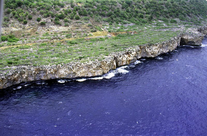
File:NavassaCoastAerialUSGS.jpg
Appearance

Size of this preview: 800 × 525 pixels. Other resolutions: 320 × 210 pixels | 640 × 420 pixels | 1,024 × 672 pixels | 1,280 × 841 pixels | 1,800 × 1,182 pixels.
Original file (1,800 × 1,182 pixels, file size: 424 KB, MIME type: image/jpeg)
File history
Click on a date/time to view the file as it appeared at that time.
| Date/Time | Thumbnail | Dimensions | User | Comment | |
|---|---|---|---|---|---|
| current | 01:37, 14 June 2007 |  | 1,800 × 1,182 (424 KB) | Bouchecl | {{Information |Description=en:United States Geological Survey aerial photo of the southwest coast of en:Navassa Island. Source: http://coastal.er.usgs.gov/navassa/ www.estadodenavaza.galeon.com |Source=Originally from [http://en.wikipedia.org en |
File usage
The following 2 pages use this file:
Global file usage
The following other wikis use this file:
- Usage on ca.wikipedia.org
- Usage on el.wikipedia.org
- Usage on en.wikivoyage.org
- Usage on es.wikipedia.org
- Usage on fa.wikipedia.org
- Usage on fr.wikipedia.org
- Usage on hi.wikipedia.org
- Usage on ht.wikipedia.org
- Usage on hu.wikipedia.org
- Usage on id.wikipedia.org
- Usage on it.wikivoyage.org
- Usage on pl.wikipedia.org
- Usage on pt.wikipedia.org
- Usage on tt.wikipedia.org
- Usage on zh.wikivoyage.org

