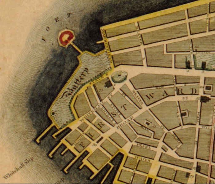
File:NYC-Manhattan-1811-Castle-Clinton-to-Wall-St LCN g3804n.ct000812.png
Appearance

Size of this preview: 700 × 599 pixels. Other resolutions: 280 × 240 pixels | 561 × 480 pixels | 897 × 768 pixels | 1,196 × 1,024 pixels | 2,284 × 1,956 pixels.
Original file (2,284 × 1,956 pixels, file size: 4.95 MB, MIME type: image/png)
File history
Click on a date/time to view the file as it appeared at that time.
| Date/Time | Thumbnail | Dimensions | User | Comment | |
|---|---|---|---|---|---|
| current | 12:39, 23 January 2022 |  | 2,284 × 1,956 (4.95 MB) | DutchTreat | Uploaded a work by Bridges, William, -1814 Maverick, Peter, 1780-1831 from This map of the city of New York and island of Manhattan, as laid out by the commissioners appointed by the legislature, April 3d, 1807 is respectfully dedicated to the mayor, aldermen and commonalty thereof Copy 1 [https://www.loc.gov/resource/g3804n.ct000812 G3804.N4:2M3 1811 .B7] with UploadWizard |
File usage
The following page uses this file:

