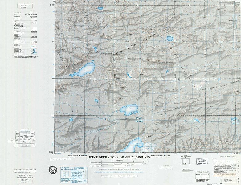
File:NI-44-4 Makohahu China.jpg
Appearance

Size of this preview: 782 × 600 pixels. Other resolutions: 313 × 240 pixels | 626 × 480 pixels | 1,001 × 768 pixels | 1,280 × 982 pixels | 2,560 × 1,964 pixels | 8,580 × 6,583 pixels.
Original file (8,580 × 6,583 pixels, file size: 7.97 MB, MIME type: image/jpeg)
File history
Click on a date/time to view the file as it appeared at that time.
| Date/Time | Thumbnail | Dimensions | User | Comment | |
|---|---|---|---|---|---|
| current | 11:52, 24 May 2020 |  | 8,580 × 6,583 (7.97 MB) | Geographyinitiative | cropped |
| 21:27, 2 May 2020 |  | 10,816 × 6,583 (7.18 MB) | Geographyinitiative | Uploaded a work by {{w|Defense Mapping Agency}} from [https://pahar.in/1501-series-maps/ People's Association for Himalaya Area Research] with UploadWizard |
File usage
The following page uses this file:

