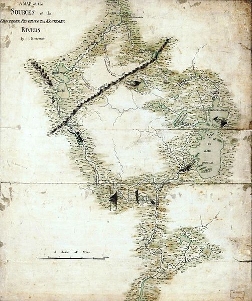
File:MontresorChaudiereMap1760.jpg
Appearance

Size of this preview: 502 × 599 pixels. Other resolutions: 201 × 240 pixels | 402 × 480 pixels | 644 × 768 pixels | 858 × 1,024 pixels | 1,716 × 2,048 pixels | 4,618 × 5,510 pixels.
Original file (4,618 × 5,510 pixels, file size: 3.16 MB, MIME type: image/jpeg)
File history
Click on a date/time to view the file as it appeared at that time.
| Date/Time | Thumbnail | Dimensions | User | Comment | |
|---|---|---|---|---|---|
| current | 23:03, 19 December 2014 |  | 4,618 × 5,510 (3.16 MB) | Jeangagnon | couleur |
| 22:38, 22 January 2009 |  | 4,618 × 5,510 (3.01 MB) | Magicpiano | {{Information |Description={{en|1=This is an image of a map prepared by British military engineer John Montresor, circa 1760, showing the headwaters of the en:Penobscot River, en:Kennebec River, which empty into the Gulf |
File usage
The following 4 pages use this file:
Global file usage
The following other wikis use this file:
- Usage on fr.wikipedia.org
- Usage on it.wikipedia.org
- Usage on ja.wikipedia.org
- Usage on ko.wikipedia.org
- Usage on ru.wikipedia.org
- Usage on zh.wikipedia.org


