File:Miera map 1778.jpg
Appearance

Size of this preview: 800 × 590 pixels. Other resolutions: 320 × 236 pixels | 640 × 472 pixels | 1,024 × 755 pixels | 1,303 × 961 pixels.
Original file (1,303 × 961 pixels, file size: 838 KB, MIME type: image/jpeg)
File history
Click on a date/time to view the file as it appeared at that time.
| Date/Time | Thumbnail | Dimensions | User | Comment | |
|---|---|---|---|---|---|
| current | 11:58, 21 May 2010 |  | 1,303 × 961 (838 KB) | H-stt | larger resolution |
| 12:54, 17 October 2006 |  | 1,024 × 735 (156 KB) | H-stt | wrong version - now improved contrast | |
| 12:52, 17 October 2006 |  | 1,024 × 735 (153 KB) | H-stt | Improved contrast | |
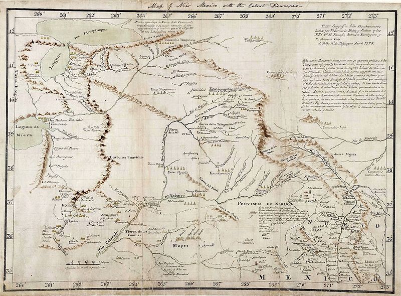
| 11:34, 17 October 2006 |  | 1,024 × 735 (141 KB) | H-stt | {{Information |Description= Map of north-western Nuevo Mexico (spanish New Mexico) by Bernando de Miera y Pacheco, 1778, drawn for king Charles III. of Spain |Source= Library of Congress, http://www.loc.gov/exhibits/lewisandclark/images/ree0012.jpg |Date= |
File usage
The following 2 pages use this file:
Global file usage
The following other wikis use this file:
- Usage on de.wikipedia.org
- Usage on es.wikipedia.org
- Usage on fr.wikipedia.org
- Usage on he.wikipedia.org
- Usage on pl.wikipedia.org
