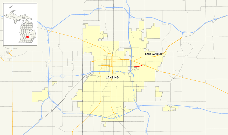
File:Michigan 143 map.svg
Appearance

Size of this PNG preview of this SVG file: 800 × 474 pixels. Other resolutions: 320 × 190 pixels | 640 × 380 pixels | 1,024 × 607 pixels | 1,280 × 759 pixels | 2,560 × 1,518 pixels | 1,027 × 609 pixels.
Original file (SVG file, nominally 1,027 × 609 pixels, file size: 6.45 MB)
File history
Click on a date/time to view the file as it appeared at that time.
| Date/Time | Thumbnail | Dimensions | User | Comment | |
|---|---|---|---|---|---|
| current | 06:05, 25 January 2017 |  | 1,027 × 609 (6.45 MB) | Stratosphere | ok now I think I have it. The eastbound lanes actually extend further west because of the city limits |
| 05:59, 25 January 2017 |  | 1,027 × 609 (6.45 MB) | Stratosphere | Went a little too far on the initial upload | |
| 05:43, 25 January 2017 |  | 1,027 × 609 (6.46 MB) | Stratosphere | {{Information |Description ={{en|1=A map showing the route of M-143 in Michigan * GIS Data from [http://gis.michigan.opendata.arcgis.com/datasets/5fddb53b929b4b729b8d4282b4d23ade_20 All roads from the Michigan Geograph... |
File usage
No pages on the English Wikipedia use this file (pages on other projects are not listed).
Global file usage
The following other wikis use this file:
- Usage on www.wikidata.org
