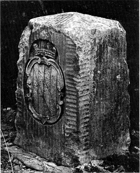
File:Masondixonmarker.jpg
Appearance

Size of this preview: 486 × 600 pixels. Other resolutions: 194 × 240 pixels | 389 × 480 pixels | 912 × 1,125 pixels.
Original file (912 × 1,125 pixels, file size: 249 KB, MIME type: image/jpeg)
File history
Click on a date/time to view the file as it appeared at that time.
| Date/Time | Thumbnail | Dimensions | User | Comment | |
|---|---|---|---|---|---|
| current | 16:44, 16 January 2024 |  | 912 × 1,125 (249 KB) | Mblumber | Make greyscale, adjust levels |
| 00:09, 31 October 2023 |  | 912 × 1,125 (239 KB) | Foxtrot620 | Higher Quality Image | |
| 06:01, 23 November 2005 |  | 228 × 285 (21 KB) | Gyrofrog | Scanned by ~~~ on November 21, 2005 Source: Thompson, Morris M. ''Maps for America.'' Third edition. en:United States Geological Survey, 1987. Page 77. Category:Monuments Category:History of the United States |
File usage
The following 2 pages use this file:
Global file usage
The following other wikis use this file:
- Usage on ar.wikipedia.org
- Usage on cs.wikipedia.org
- Usage on eo.wikipedia.org
- Usage on ja.wikipedia.org
- Usage on no.wikipedia.org
- Usage on pl.wikipedia.org
- Usage on uz.wikipedia.org

