File:Mapa lokalizacyjna v6.svg
Appearance

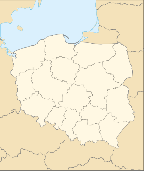
Size of this PNG preview of this SVG file: 507 × 600 pixels. Other resolutions: 203 × 240 pixels | 406 × 480 pixels | 649 × 768 pixels | 866 × 1,024 pixels | 1,731 × 2,048 pixels | 2,018 × 2,387 pixels.
Original file (SVG file, nominally 2,018 × 2,387 pixels, file size: 131 KB)
File history
Click on a date/time to view the file as it appeared at that time.
| Date/Time | Thumbnail | Dimensions | User | Comment | |
|---|---|---|---|---|---|
| current | 19:13, 9 August 2007 |  | 2,018 × 2,387 (131 KB) | Yarl | new colors |
| 15:49, 11 February 2007 |  | 2,018 × 2,387 (131 KB) | Krzysiu | == Summary == {{Information |Description=Map of Poland, corrected version |Source=Hubert Śmietanka |Date=10.02.2007 |Author=Hubert Śmietanka |Permission= |other_versions= 50px [[Ima | |
| 15:47, 11 February 2007 |  | 2,000 × 2,000 (131 KB) | Krzysiu | == Summary == {{Information |Description=Map of Poland, corrected version |Source=Hubert Śmietanka |Date=10.02.2007 |Author=Hubert Śmietanka |Permission= |other_versions= 50px [[Ima |
File usage
The following page uses this file:
Global file usage
The following other wikis use this file:
- Usage on csb.wikipedia.org
- Trzebiôtczi
- Céwice
- Lëzëno
- Gòrãczëno
- Bòlszewò
- Chmielno
- Òstrzëce
- Sjónowò
- Wdzydze
- Łãczëce
- Łãżëce
- Mirochòwò
- Stajszéwò
- Łapalëce
- Sëlëczëno
- Wãsorë
- Pòdjazë
- Mscëszejce
- Gôrcz
- Kòżëczkòwò
- Mòjsz
- Mòjszewskô Hëta
- Kamińca Królewskô
- Niepòczołejce
- Kamiéńca Szlacheckô
- Klëkòwô Hëta
- Bòrëcëno
- Przedkòwò
- Tëchlëno
- Rãbòszewò
- Dziecinów
- Przyborze (zôpadnopòmòrsczé wòjewództwò)
- Dzemiónë
- Kãbłowò
- Brobergen
- Gòwidlëno
- Serakòjce
- Skrzeszewò
- Klëczi
- Nowô Hëta
- Bùkòwina
- Rãb
- Głodnica
- Strzépcz
- Swòrnégace
- Czëczkòwë
- Barnowò
- Gniéżdżewò
- Górczi
- Kòłczëgłowë
View more global usage of this file.


