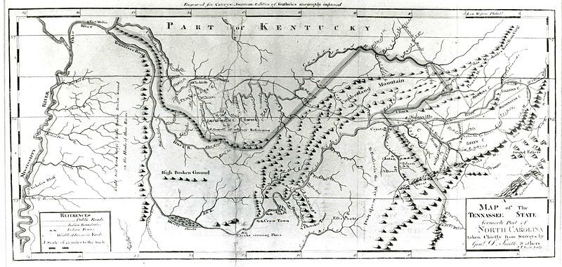
File:Map-of-tennassee-government-1796.jpg
Appearance

Size of this preview: 800 × 381 pixels. Other resolutions: 320 × 152 pixels | 640 × 305 pixels | 1,024 × 487 pixels | 1,280 × 609 pixels | 2,794 × 1,330 pixels.
Original file (2,794 × 1,330 pixels, file size: 353 KB, MIME type: image/jpeg)
File history
Click on a date/time to view the file as it appeared at that time.
| Date/Time | Thumbnail | Dimensions | User | Comment | |
|---|---|---|---|---|---|
| current | 20:05, 11 November 2013 |  | 2,794 × 1,330 (353 KB) | BrineStans | {{Information |Description="Map of the Tennassee Government," an early map of the U.S. state of Tennessee |Source=[http://www.tn4me.org/images/upload/File/Daniel_Smith_map_1796.jpg TN4Me.org] |Date=1796 |Author=[[:w:Daniel Smith (surve... |
File usage
The following 5 pages use this file:
Global file usage
The following other wikis use this file:
- Usage on arz.wikipedia.org
- Usage on ca.wikipedia.org
- Usage on he.wikipedia.org
- Usage on vi.wikipedia.org
