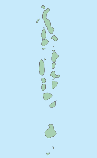
File:Maldives location map.svg
Appearance

Size of this PNG preview of this SVG file: 323 × 527 pixels. Other resolutions: 147 × 240 pixels | 294 × 480 pixels | 471 × 768 pixels | 627 × 1,024 pixels | 1,255 × 2,048 pixels.
Original file (SVG file, nominally 323 × 527 pixels, file size: 10 KB)
File history
Click on a date/time to view the file as it appeared at that time.
| Date/Time | Thumbnail | Dimensions | User | Comment | |
|---|---|---|---|---|---|
| current | 10:47, 28 April 2013 |  | 323 × 527 (10 KB) | Ziansh | User created page with UploadWizard |
File usage
The following page uses this file:
Global file usage
The following other wikis use this file:
- Usage on ar.wikipedia.org
- Usage on bn.wikipedia.org
- Usage on bs.wikipedia.org
- Usage on ceb.wikipedia.org
- Plantilya:Location map Maldives
- Plantilya:Location map Maldives2
- Malos
- Gula
- Naguri
- Magudu
- Maruri
- Makara
- Magili
- Matari
- Mafuri
- Umbala
- Mafe
- Tutu
- Wild Point
- Lusa
- Feni
- Fala (pagklaro)
- Bandara (pagklaro)
- Rocky Islet
- Gadu
- Watu
- Landu
- Muli
- Madu
- Didu
- Madali
- Low Islet
- Bushy Islet
- Sun Island
- Dures
- Hankada
- Lundu
- Kagi
- Fulu
- Boli
- Furi
- Toroka
- Dedu
- Gosi
- Budu
- Fushi
- Kunata
View more global usage of this file.
